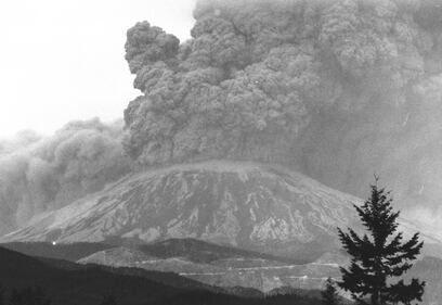
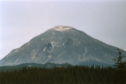
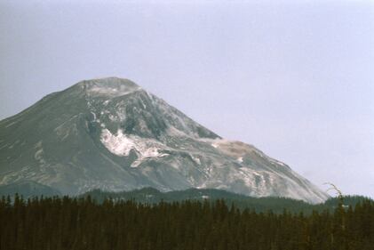
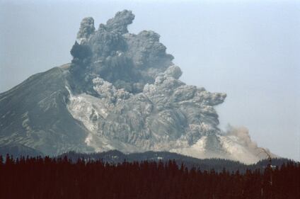
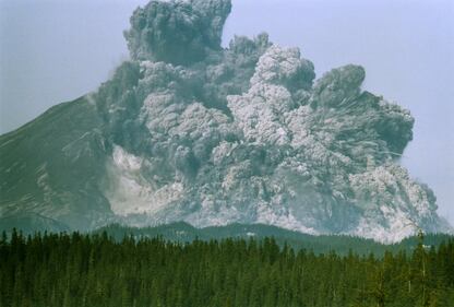
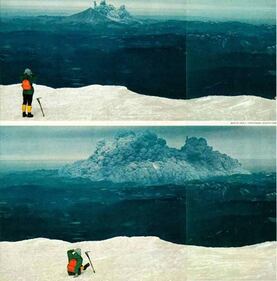
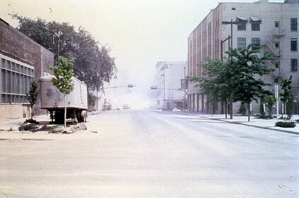
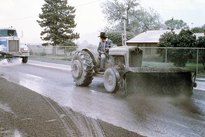
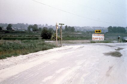
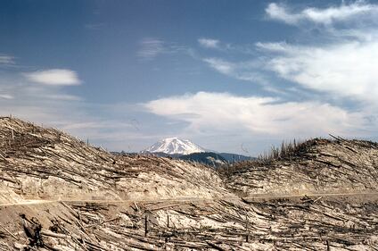
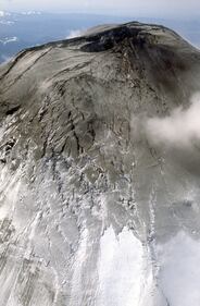
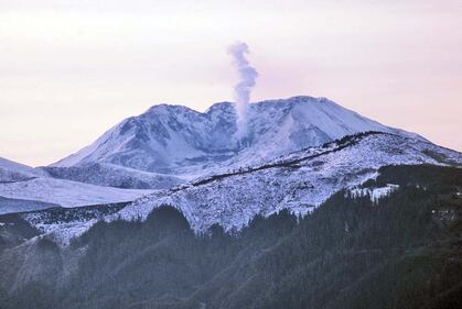
PHOTOS: Looking back at the deadly Mount St. Helens eruption
Image 1 of 14
The eruption from afar A photograph shows the eruption from 20 miles away. (Washington State Dept. of Natural Resources)
Mount St Helens Eruption by Gary Rosenquist Timelapse shows progress of eruption on Mount St Helens by photographer Gary Rosenquist (1/4) (Washington State Dept. of Natural Resources)
Mount St Helens eruption by Gary Rosenquist Timelapse shows progress of eruption on Mount St Helens by photographer Gary Rosenquist (2/4) (Washington State Dept. of Natural Resources)
Mount St Helens eruption by Gary Rosenquist Timelapse shows progress of eruption on Mount St Helens by photographer Gary Rosenquist (3/4) (Washington State Dept. of Natural Resources)
Gary Rosenquist photo of Mount St Helens Timelapse shows progress of eruption on Mount St Helens by photographer Gary Rosenquist (4/4) (Washington State Dept. of Natural Resources)
Hiker spots eruption A hiker on nearby Mount Adams sees the eruption. Photo by John V. Christiansen. (Washington State Dept. of Natural Resources)
Nearby cities see effects Nearby cities like Yakima and Spokane were covered in volcanic ash and smoke after the eruption. (Washington State Dept. of Natural Resources)
Ash blankets roadways Volcanic ash eventually spread all across the globe, but nearby towns were coated in the ash. (Washington State Dept. of Natural Resources)
Volcanic ash dump site As nearby towns and cities became blanketed in ash, special sites were set up to dump the piles. (Washington State Dept. of Natural Resources)
Timber destroyed The eruption destroyed hundreds of houses and 185 miles of highway, but it also left 4 billion board feet of timber in ruin. (Washington State Dept. of Natural Resources)
North side bulging The north side of Mount St Helens bulges in 1980, before the eruption. (Washington State Dept. of Natural Resources)
Mount St Helens, one year later A view of Mount St Helens in 1981, one year after the deadly eruption. (Washington State Dept. of Natural Resources)