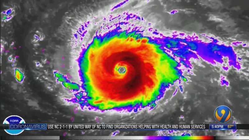
CHARLESTON, S.C. — Tropical Storm Bertha, which formed Wednesday morning off the South Carolina coast, becoming the second named storm before the official start of this year’s Atlantic hurricane season, made landfall near Charleston about two hours later.
Bertha, which has since been downgraded to a tropical depression, surprised the South Carolina coast, forming and making landfall within two hours, bringing a poor beach day of rain and gusty winds, but no major problems.
Heaviest rains from what was #Bertha pushing through right now. Roads are a mess! pic.twitter.com/EvYZ3PelAE
— Keith Monday (@kmondayWSOC9) May 27, 2020
Forecasters expected the bad weather Wednesday, but didn’t predict it to organize so quickly and become the second named storm before the official start of this year’s Atlantic hurricane season. Bertha was named around 8 a.m. Wednesday and was onshore east of Charleston by 9:30 a.m.
As it moved off the Florida coast over the weekend, the system gained energy from the warm ocean water. According to the National Hurricane Center, Bertha made landfall along the coast of South Carolina approximately 20 miles east of Charleston.
A tropical storm warning had been issued Wednesday morning for South Carolina’s coast and the storm was expected to bring heavy rainfall to North Carolina both Wednesday and Thursday.
Officials said the biggest threat from Bertha will be heavy rainfall, along with tropical storm-force winds along portions of the South Carolina coast.
Bertha’s maximum sustained winds were near 50 mph but it was expected to weaken to a tropical depression after moving inland.
The state Department of Natural Resources called it “a sunrise surprise.” Like almost all storms with heavy rain, several streets flooded in Charleston, leaving ankle to calf-high brown water mixed with trash from knocked over cans Wednesday.
Tropical Storm #Bertha has formed near the coast of South Carolina this morning. Heavy rainfall will be the biggest threat, along with tropical storm force winds along portions of the South Carolina coast https://t.co/tW4KeFW0gB pic.twitter.com/8CeH3j9TlU
— National Hurricane Center (@NHC_Atlantic) May 27, 2020
Our team of meteorologists is tracking the storm and expects it to move through South Carolina and bring heavy rain to the Charlotte region.
Several counties across the Charlotte region are under a Flash Flood Watch.
Another system will keep rain falling in North Carolina Thursday, Friday and Saturday, tapering off early Sunday morning. The rain will be on and off or scattered at times.
Rain estimates from #Bertha remain highest from I-77 to the east. Some spots may see over 3 inches of rain and this could lead to flash flooding. I'm detailing the timing for the heaviest rains, ahead on Channel 9 at noon. pic.twitter.com/Gzb0eKEuDd
— Keith Monday (@kmondayWSOC9) May 27, 2020
Since 1900 having two named storms before the official start of hurricane season -- June 1 -- has only happened five times, said Phil Klotzbach research scientist in the Department of Atmospheric Science at Colorado State University.
Three of those have been since 2012, including this year.
The NHC issued a tropical storm warning for the coast of South Carolina from Edisto Beach to South Santee River.
"The center of Bertha will move onshore in the warning area in the next few hours and then move inland across eastern and northern South Carolina later today and into west-central North Carolina by tonight," the NHC said.
The storm will cause flash flooding over portions of the Carolinas and very gusty winds.
Life-threatening surf and rip currents will be likely along the coasts of Georgia and the Carolinas throughout the day.
© 2020 Cox Media Group


