CHARLOTTE — Severe Weather Center 9 is monitoring Tropical Depression Nicole as it crosses through the Southeast.
Nicole formed east of the Bahamas and it made landfall there just after noon Wednesday. Early Thursday morning, it made landfall south of Orlando, Florida, and it should track up the east coast by the end of the week.
Nicole began as a subtropical storm but strengthened to a tropical storm Tuesday morning. It reached hurricane strength Wednesday evening but weakened to a tropical storm again overnight into Thursday. On Thursday night, Nicole was downgraded to a tropical depression.
In the Carolinas, the storm is expected to bring heavy rain and gusty winds. The biggest impacts are expected to arrive on Friday.
Severe Weather Center 9 forecasts the storm to arrive in the Carolinas Thursday night. It will continue to weaken as it makes its way here. We do get some light showers Thursday afternoon and evening from Nicole.
Here's the latest timeline for the heavy rain from #Nicole. We do get some light showers this afternoon and evening, but the heavier rain comes in after midnight. Two rounds come in tomorrow (one in the monring, the other in the afternoon.) 1-2" for the metro, 3-4"+ for the mtns. pic.twitter.com/ELGz4sgUWJ
— Keith Monday (@kmondayWSOC9) November 10, 2022
Thursday afternoon update:
Light rain arrived in the Charlotte area, but steadier showers will get here overnight and continue through Friday.
The heaviest rain will be in the mountains with 2 to 4 inches.
About 1 inch of rainfall is expected for Charlotte.
There are flash flood watches in the mountains.
There is a risk of a quick spin-up tornado overnight and into the middle of Friday afternoon.
However, the greatest risk will be to the east of the Channel 9 viewing area, over central and eastern North Carolina.
Thursday’s morning update:
Heavier rain picks up overnight Thursday, which could make Friday morning’s commute awful.
We’ll have another round of heavy rain Friday afternoon and there will also be a risk for a brief tornado to spin up. Main risk for that would be along and east of I-77. Winds won’t be a big issue, just a few gusts around 30-35 mph.
Rain totals will only be between 1-2 inches in the metro, with higher amounts in the mountains where there will be a risk for flooding.
This all clears out Friday night and quiet weather returns for the weekend.
What’s the difference between a tropical storm and a subtropical storm?
Many wonder what makes a subtropical storm different from a tropical one. Channel 9 Meteorologist Keith Monday says there isn’t much.
So many wonder what's the difference between a tropical and a subtropical storm. The quick answer is not much. Subtropical storms have a more broad wind field and develop slowly. These can gain tropical storm characteristics though (tighter wind field) and can become hurricanes.
— Keith Monday (@kmondayWSOC9) November 7, 2022
Subtropical storms have a more broad wind field and develop slowly. However, they can gain tropical storm characteristics -- like a tighter wind field. They also have the potential to become hurricanes.
>> WSOC SPECIAL SECTION: Tracking the Tropics
As far as impacts, the two types of storms can appear very similar. Flooding rains, storm surge and beach erosion are the main threats, but wind can get strong with subtropical storms.
Nicole is forecasted to reach hurricane strength before landfall. It’s something Severe Weather Center 9 is watching closely, as it’ll strengthen our rain chances locally.
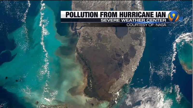
(WATCH BELOW: Pollution, reverse storm surge from Hurricane Ian means a red tide may be looming)
©2022 Cox Media Group


